Skip to search
Skip to main content
History
Login
search for
Search
Search
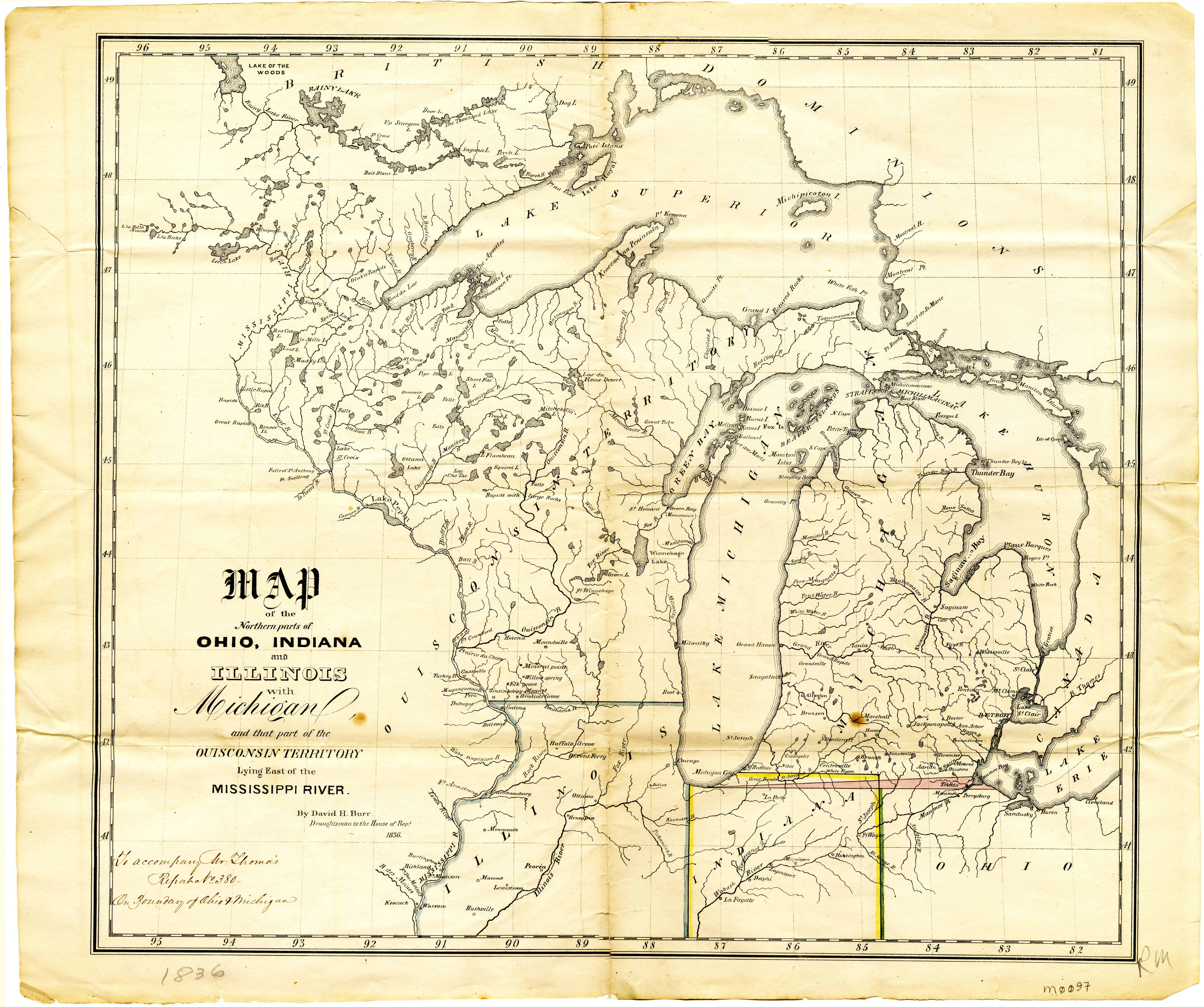
Map of the northern parts of Ohio, Indiana and Illinois with Michigan and that part of the Ouisconsin territory lying east of the Mississippi River
Maps
Michigan State University
Public content
IIIF Service
Description:
Manuscript note: "To accompany Mr. Thomas' report no. 380, on boundary of Ohio & Michigan." by David H. Burr, draughtsman to the House of Reps., 1836. Scale not given
Creator:
Burr, David H., 1803-1875
Provider:
Michigan State University
Collection:
06d-01
Resource Class:
Maps
Temporal Coverage:
1836
Spatial Coverage:
United States
Access Rights:
Public
Format:
JPEG
Location
Tools
Cite
Metadata
Download
Original
Jpeg