Skip to search
Skip to main content
History
Login
search for
Search
Search
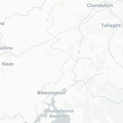
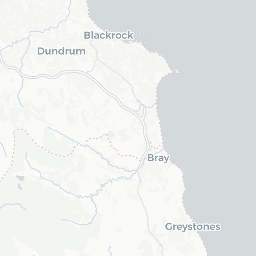
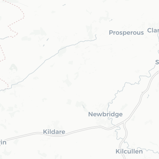
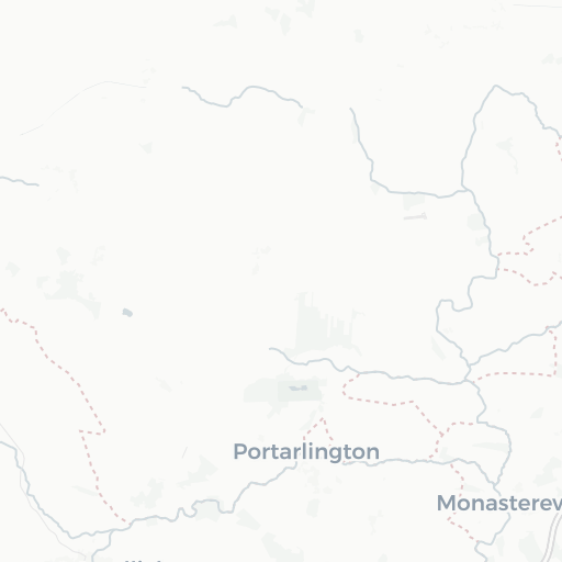
Dublin. Map 3328-8
Princeton University
Restricted content
+
−
Leaflet
|
©
OpenStreetMap
contributors, ©
Carto
Description:
Ireland. Ordnance Survey Office. "Index to wards and parishes within the Co. Boro." Explanatory note on the national grid. "Levelled 1967." Map Library has only 5 sheets.
Publisher:
Dublin : Ordnance Survey of Ireland, 1968.
Provider:
Princeton
Resource Type:
Satellite imagery
Subject:
Administrative and political divisions
and
Ireland—Maps
Access Rights:
Restricted
Format:
TIFF
More details at:
https://catalog.princeton.edu/catalog/6866005
Tools
Cite