Skip to search Skip to main content
ⓘ NOTICE: The Spatial Data Repository (SDR) will be discontinued on September 7, 2026. Going forward, SDR records will be available in NYU's UltraViolet repository or on partner GeoBlacklight systems. Previously available permanent links bookmarked for assets here will also redirect you to the current location of a record. If you cannot find a previously available record, please reach out to Data Services at data.services@nyu.edu.
NYU Spatial Data Repository
  • History

Find maps and data through NYU

Get started here

Cite

Citation copied to clipboard
Citation Info Geological Survey (U.S.). (2013). 100-Meter Resolution Satellite View with Shaded Relief of Puerto Rico and the U.S. Virgin Islands. [GeoTIFF]. National Atlas of the United States. Retrieved from https://geo.nyu.edu/catalog/stanford-cj519zn4557

Featured Collections

Vector Map 1 (VMap1) Layers

Highly detailed vector layers depecting terrain, topology, transportation, and civil infrastructure

New York City Open Data

A collection of datasets related to NYC infrastructure, real estate, transportation, and political geography

NYU Research Data

Geospatial data submitted for preservation by NYU students, faculty, and staff

Latin American Census Geodatabases

ESRI Geodatabases of census data from Latin American countries

Featured Maps

NYU Spatial Data Repository

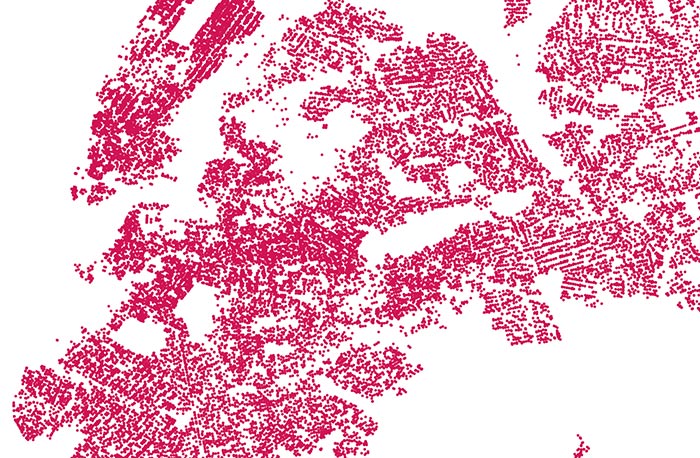
2015 New York City Real Estate Sales

NYU Spatial Data Repository

1967 Communist China Agriculture

NYU Spatial Data Repository

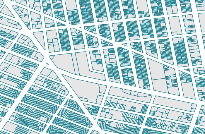
2015 MapPLUTO Brooklyn V. 1

  • New York University Libraries
  • Data Services
  • Contact Us
Link to Data Services Homepage
GBLv4.4.2 SDR v2.0.1